Article

STUDYABROAD
(2018)
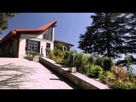
You will learn to “read” rocks and use maps and remote sensing images to better understand past and present Earth processes. You’ll experience structural geology, map and cross-section construction, and field identification of rock types, sedimentary structures, and river terraces.

Backpacker-U
updated 6 months ago
0 likes
Comments
RELATED RESOURCES
with chunks in common
MORE RELATED CONTENT
with shared categories
MORE RESOURCES FROM SOURCE
More from Resources from Summit Global Education studyabroad.sit.edu
No comments yet. Be the first to comment!